
Commercial Drone Pilot services & Advanced and Level 1 Complex Training
Alberta, British Columbia, Saskatchewan and North West Territories.
Drone & Training Services
-
Level 1 Complex Drone Pilot Training
The Level 1 Complex Drone Training Course builds foundational proficiency in complex airspace operations, flight planning, and advanced safety protocols. Through hands-on scenarios and drills, pilots learn risk assessment, contingency management, and compliant mission execution. We also offer Implementation and upgrading of company drone programs to the L1C standard.

-
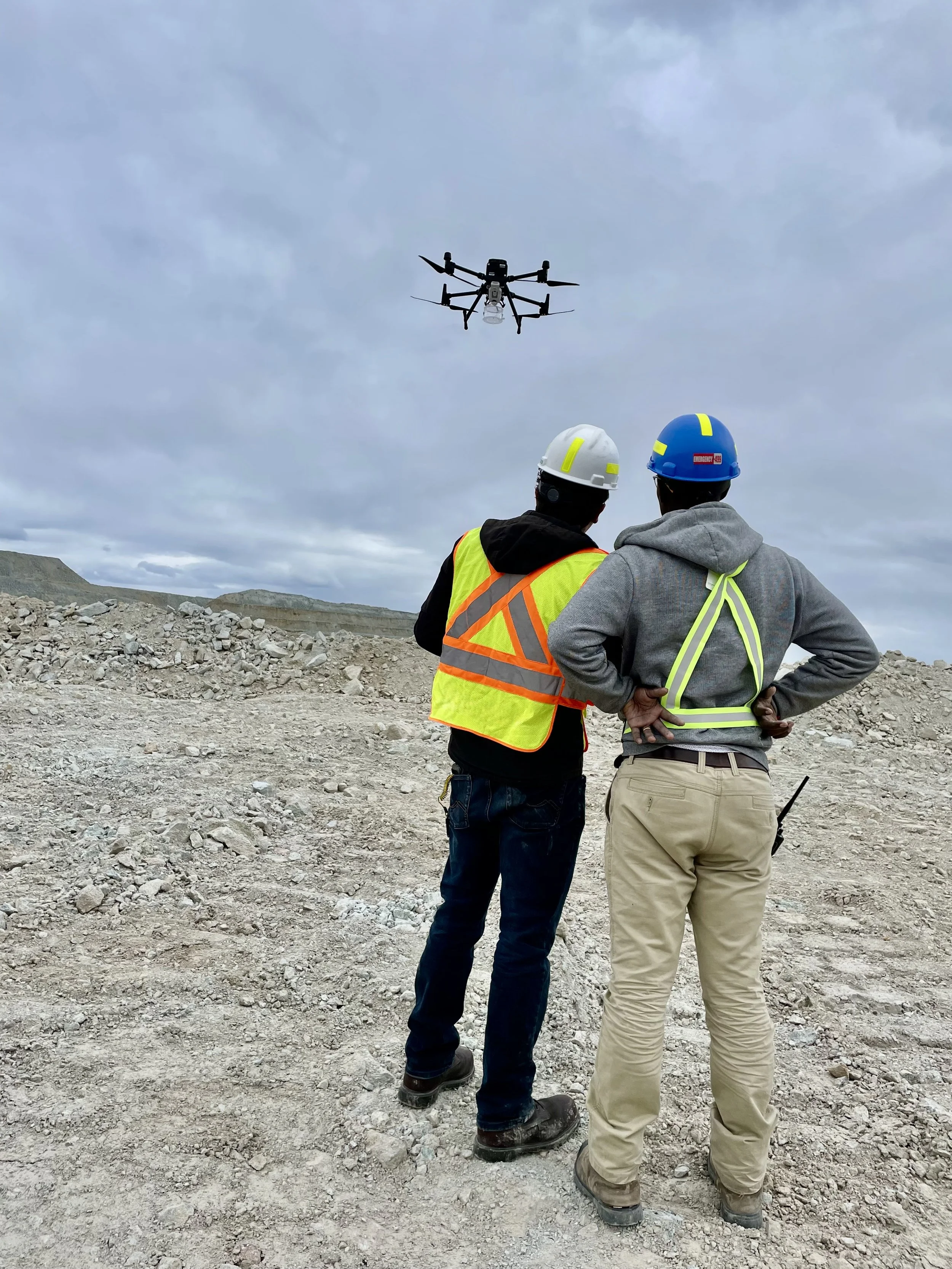
Construction site mapping
Construction site mapping, inspections and surveys allow our clients to enhance safety, make changes, and improve project efficiency. We deliver aerial imagery data enhanced with GNSS RTK data to assist project managers with near real-time Construction Monitoring. Deliverables include high-resolution orthomosaics, 3D point clouds, and volumetric calculations.

-
Advanced Drone Pilot Training for Industry Professionals
The Transport Canada Advanced License ground school covers all the fundamental knowledge requirements for the advanced exam. The Pilot Training equips industry professionals with skills in aerial navigation, data acquisition, and regulatory compliance for complex commercial operations. Goals- enhances safety, precision, and efficiency
Commercial RPAS Drones
-
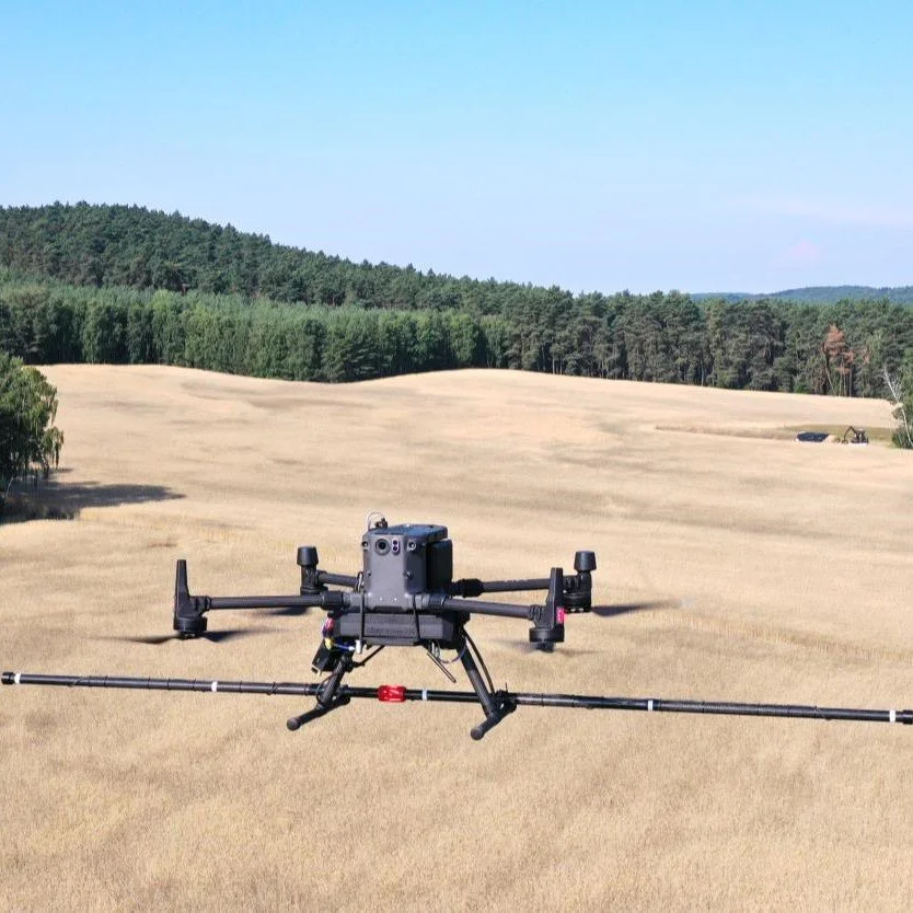
DJI M350
The Matrice M350 is an industrial workhorse with is generally used for Construction Site and Renewable Energy inspections. We use zoom, thermal and colour spectrum cameras.
-
DJI Matrice 4E
The most active member of our drone family the DJI Matrice 4E is ideal for commercial work where its excellent camera, long flight time and ease of deployment are an asset.
-

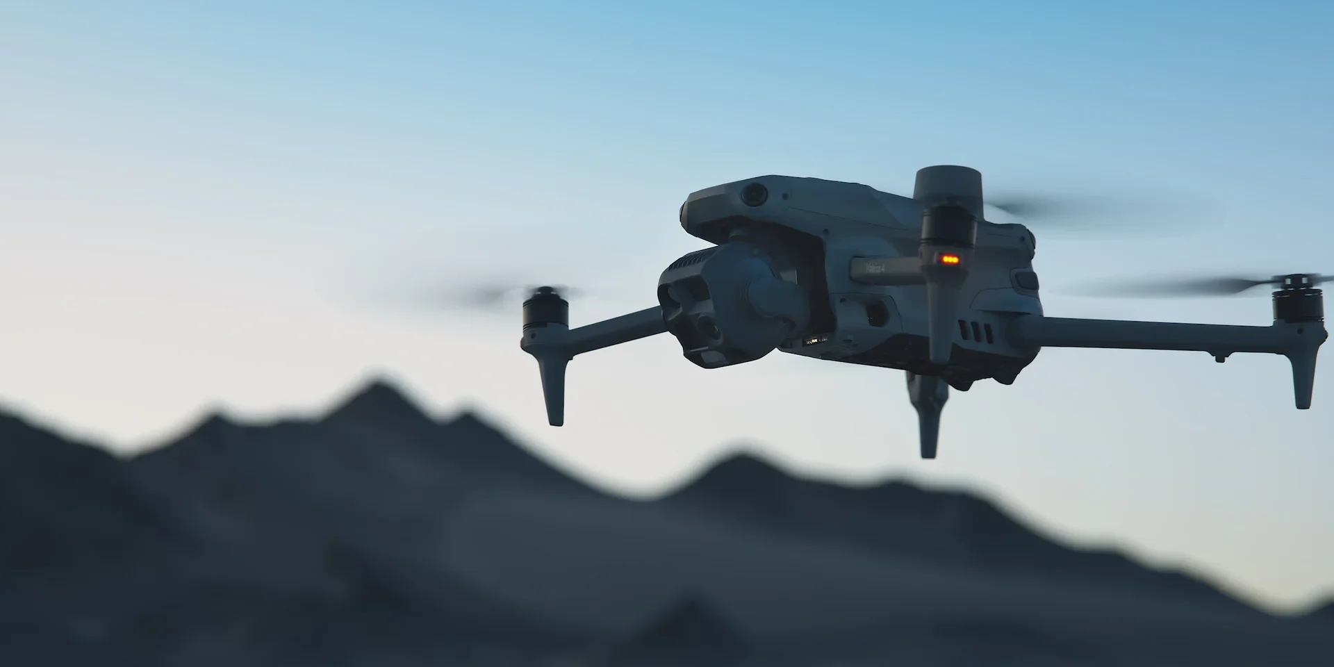
DJI Mini 4 Pro
The sub 250 gram Mini 4 Pro is ideal for real estate and sub 20m altitude work. There are times when airspace limitations warrant using a mini to get the job done.
-

RTK Survey Equipment
Especially construction and agricultural projects require us to use our Emlid RS3 surveying kit to correct GNSS to centimetre level accuracy.
Software Packages we can deploy on your project
-

Pix4D
It is an online photogrammetry platform for image processing, project analysis and streamlined results sharing. With Pix4D, users can analyze image data and create 3D models, all from photographs processed by Pix4D.
-

Drone Deploy
DroneDeploy is a powerful mapping application that can transform images you take with your drone into a high-resolution maps with information about plant health and terrain elevation, and provides tools for calculating distance, area, and volume.
-

DJI Terra
DJI Terra is mapping and reconstruction software that turns drone imagery and LiDAR data into high-accuracy 2D maps, 3D models, and point clouds. It supports common outputs like orthomosaics, DSM/DEM, LAS, and CAD-friendly formats, streamlining workflows for surveying, construction, and inspection.
-

RealityScan
RealityScan is a photogrammetry application that reconstructs ultra-realistic 3D models from photos and LiDAR, with desktop and mobile workflows for rapid field capture and production use. The latest 2.0 release adds AI-based masking, improved alignment, quality heatmaps, and aerial LiDAR support.